by todd | Jun 1, 2016
Ozone Cliffband including Dropzone and Stratosphere
by Micah Klesick & Elmo Mecsko
Columbia Gorge Guides
CGG Facebook
Mt. Hood Crags Guidebook | Madrone & Carver Guidebook
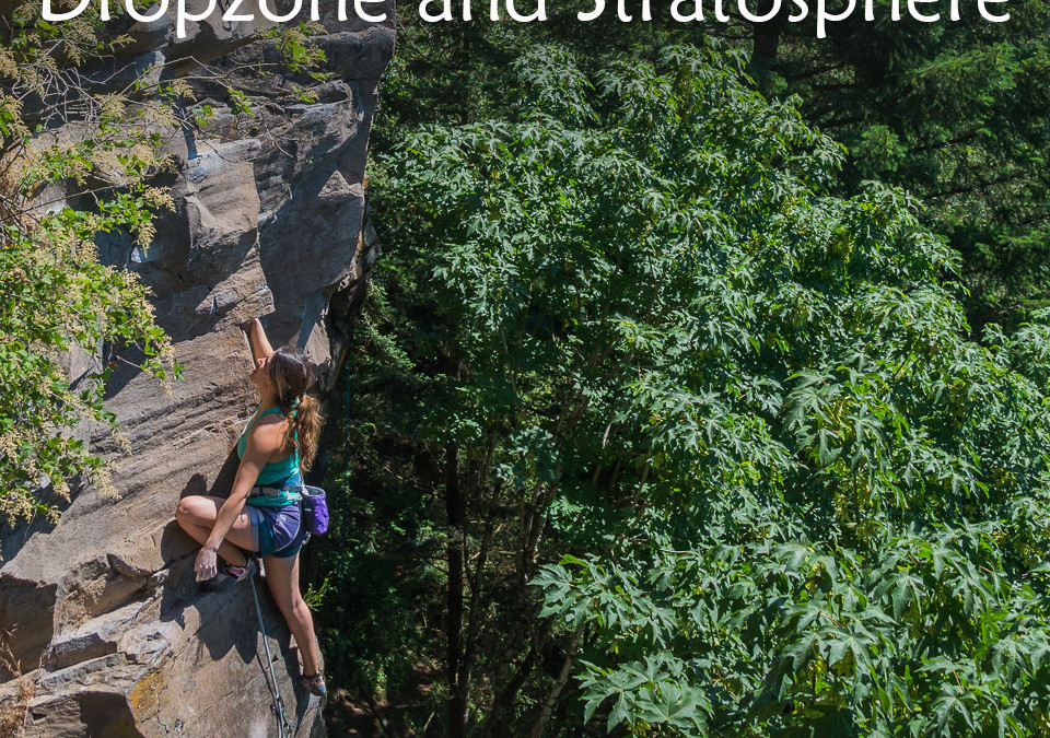
The Ozone cliff band consists of three different cliffs, all comprised of the same band of quality rock, ranging from 40′ tall to over 120′ tall, and all three cliffs are somewhat connected by a rough trail system. Ozone Cliff is certainly the most popular cliff of the three cliffs, and quite possibly the most popular cliff in the Portland area. While they are comprised of the same rock, Dropzone/Farside and Stratosphere are less popular, Dropzone/Farside due to being mostly traditionally protected lines, and Stratosphere simply because it is newer and a little further from the parking.
When sampling the excellent climbing here, it is recommended to have at least some trad gear with you, as many of the routes need one or more pieces of gear to safely ascend them.
-
-
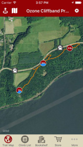
Explore Ozone via our interactive trail map.
-
-
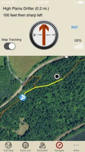
rakkup guides you car to crag then shows you a picture when you arrive.
-
-
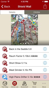
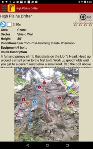
Smart Topos! Tap on a climb name, the topo line highlights. Tap on a climb ID badge, the climb name is highlighted. Color topo lines by grade or climb type, or hide altogether, in full screen too!
-
-
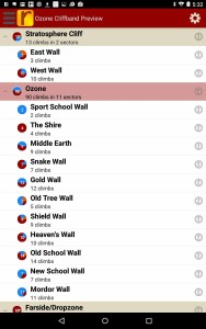
Hierarchical climb list provides an alternative way to explore.
-
-
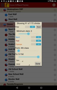
Filter or sort the climb list or trail map to the grades & quality you want.
-
-
Use Micah & Elmo’s beta to send your next proj!
by todd | May 24, 2016
Wasatch Wilderness Rock Climbing
by Tony Calderone
Little Cottonwood Climbing | Big Cottonwood Climbing | Ferguson Canyon | Wasatch Front Bouldering | Wasatch Bench Climbing
This guidebook currently includes over 400 routes in the Mount Olympus Wilderness, Brighton, Twin Peaks Wilderness, Alta, and Lone Peak Wilderness.
-
-
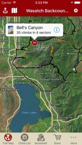
Explore Wasatch Backcountry via our interactive trail map.
-
-
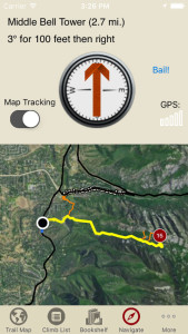
rakkup guides you car to crag then shows you a picture when you arrive. Awesome.
-
-
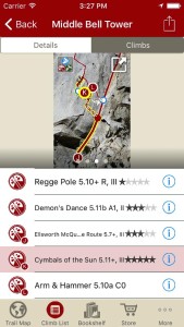
Tap on a climb name, see where it’s located on the image. Tap on a climb bubble in the image, discover what climb it is. So nice…
-
-
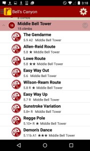
Wasatch Backcountry route list at your fingertips.
-
-
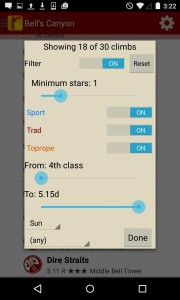
Filter your route list or trail map by grade, climb type, quality and sun/shade times.
-
-
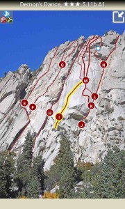
Use our interactive Smart Topos to identify your route.
by todd | May 24, 2016
Ten Sleep
Mike Snyder
Mike’s Blog
Ten Sleep Canyon Facebook
Dolomite pocket pulling, a wide variety of chill camping, beautiful scenery in an enormous canyon with mild weather nearly year round, seriously, what more could you ask for?
Ten Sleep Canyon has slowly but surely crept its way onto most peoples ‘climbing destination’ radar over the past fifteen years as more and more crags and routes have been added each season. Do you like 5.10 & 5.11 moderates? Are you a 5.12 crusher? How about one of those mutant 5.13 and up climbers? Ten Sleep has so many 5 star routes at every grade that everyone in the group will find their new favorite route at any of dozens of crags hidden/nestled in the forested canyon.
With some very plush FS pay camp sites and free camping spread out at all elevations you are sure to find a perfect place to pitch the tent or chock the tires no matter what season you choose to visit. The welcoming little town of Ten Sleep offers several eateries and a gas station, there’s even a brewery that has camping and showers. The new Ten Sleep Rock Ranch, just minutes from the climbing, offers a variety of overnight options including an open but sheltered common area, bathrooms, showers, WiFi and even an indoor gym. The larger towns of Buffalo and Worland lie in either direction about 45 minutes away from the climbing when its time to restock rations.
The Rakkup Ten Sleep Rock Climbing guide book has an initial offering of some of the most popular areas along with some new and completely unheard of gems (psst, Crag 6). Nearly 800 routes of what has been described as the ‘buttery sickness’ will get you started. Longtime local and route developer Mike Snyder plans to continue to add more and more satellite crags until the guide is complete. Accurate trail maps, crag and route descriptions along with photos of each route and all the details will help you plan your trip or day of climbing.
2017 was the most prolific year yet for the sheer volume of new routes. Well over 100 new lines went in this year with many new faces leaving their signatures on Ten Sleeps dolomite cliffs. The Rakkup guide has many of these new lines and will continue to add them through updates as they go in and are opened by the equippers. Refresh the app, Go to the bookshelf, download new material, open, enjoy!
Ten Sleep has been the site of some egregious route manufacturing recently and sporadically throughout the years. In order to provide each Rakkup user with the best and most accurate information, each route in the canyon will be included regardless of how it was developed. Routes developed on Wyoming Big Horn dolomite are expected to be comfortized as has been the practice around the state for decades, however holds may not be created from nothing and the use Sika (glue) is frowned upon. Routes developed outside this ethic will be included in the guide because there are climbers that will happily go and climb them and those that will want to avoid them. They will be described the same as normal routes, however they will lose a star in the quality rating system. Each route known to be a manufactured route will say so in its description and each Area with a route of this nature will have it included in its description.
-
-
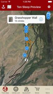
Explore Ten Sleep Canyon like it was meant to be explored via our interactive trail map.
-
-
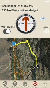
rakkup guides you car to crag then shows you a picture when you arrive. Awesome.
-
-
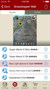
Tap on a climb name, see where it’s located on the image. Tap on a climb bubble in the image, discover what climb it is. So nice…
-
-
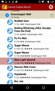
All the Ten Sleep climbs at your fingertips.
-
-
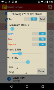
Sort all those climbs to only the grades you want to see.
-
-
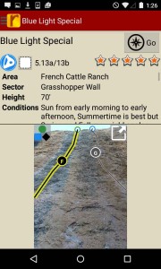
Use local, Mike Snyder’s beta to send your next proj!

by todd | May 3, 2016
Red River Gorge North
Wolverine Publishing
by Ray Ellington & Dustin Stephens
Ray’s Red River Climbing website
Red River Gorge South Guidebook
The Red River Gorge in eastern Kentucky is one of the best rock-climbing areas in the world. Its solid, well-featured sandstone makes for steep, spectacular climbing, from traditionally protected cracks to some of the hardest sport climbs in America. This digital guidebook for iOS and Android covers over 800 of the best climbs in the northern half of the Red River Gorge, i.e those cliffs that lie north of Miguel’s Pizza and the Mountain Parkway. Most cliffs in this region lie on Forest Service land. The most popular include Military Wall, Left Flank, Long Wall, and Funk Rock City.
-
-
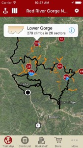
Explore the Red River Gorge like it was meant to be explored via our interactive trail map.
-
-
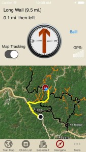
Like a local who’s been there and done that, rakkup guides you turn by turn to your desired climb at the Red River Gorge.
-
-
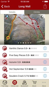
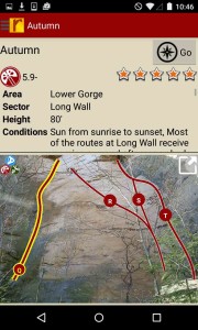
Tap on a climb to see where it’s located in the image, or tap on a route bubble in the image to see what climb it is.
-
-
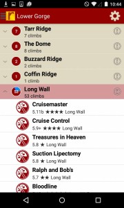
Explore the Red River Gorge climbs from a hierarchical list that can be filtered and searched.
-
-
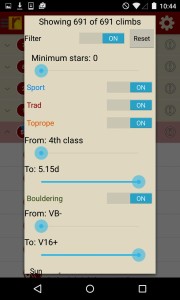
Filter your Red River Gorge climbing routes or trail map by grade, climb type, quality and sun/shade times. How cool is this?
-
-
Tired of bad beta? Use Ray & Dustin’s beta to send your next Red River Gorge climbing project.
Digital + print bundle pricing includes $6.00 for shipping.

by todd | Mar 3, 2016
Cape Peninsula
by Tony Lourens
SA Mountain Magazine
Blue Mountain Publishers
SA-Mountain Sport Facebook
The Cape Peninsula is renowned for its world-famous landmark, one of the New 7 Wonders of Nature – Table Mountain and the Table Mountain chain. This rugged mountain chain creates an undulating ridge, which forms the backbone of the Peninsula, starting from the striking front of Table Mountain that overlooks the city, running through the beautiful and exposed Silvermine Reserve, over the cave-riddled Kalk Bay mountains and ending in the Cape of Good Hope Reserve at Cape Point – the very tip of the Peninsula.
Fortunately for climbers in Cape Town, the Cape Peninsula is blessed with a string of great crags giving very diverse climbing from short powerful routes on the bulging quartzite crags of Trappieskop and Peer’s Cave, the ever-popular faces of the Silvermine crags, to the very steep and mega-pumpy crags of The Mine and The Hole. As far as grades are concerned, there is something for everyone. Crags like Lakeside Pinnacle, Lower Silvermine and Higgovale Quarry are popular among beginners and for those who want a relaxing day at the crag, while Silvermine Main Crag and Fawlty Towers takes one up a notch or two. Whatever your desires, there are many routes on quality sandstone, just waiting to be caressed by your fingertips. Just go out and get ’em!
-
-
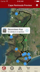
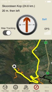
Explore South Africa Cape Peninsula rock climbing like it was meant to be explored via our interactive trail map.
-
-
rakkup guides you car to crag then shows you a picture when you arrive. Awesome.
-
-
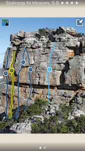
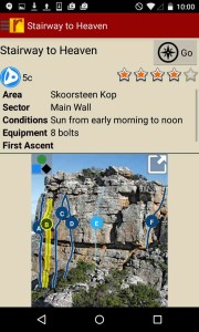
Smart topos find your line!
-
-
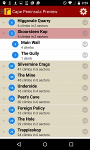
South Africa Cape Peninsula rock climbs in a searchable list!
-
-
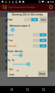
Sort all those climbs to only the grades you want to see. Too hot? No prob, filter by in shade only.
-
-
Use Tony’s beta to send your next proj!
by todd | Nov 24, 2015
Cody Rock Climbing
Mike Snyder
Mike’s Blog
Cody Climbing Facebook
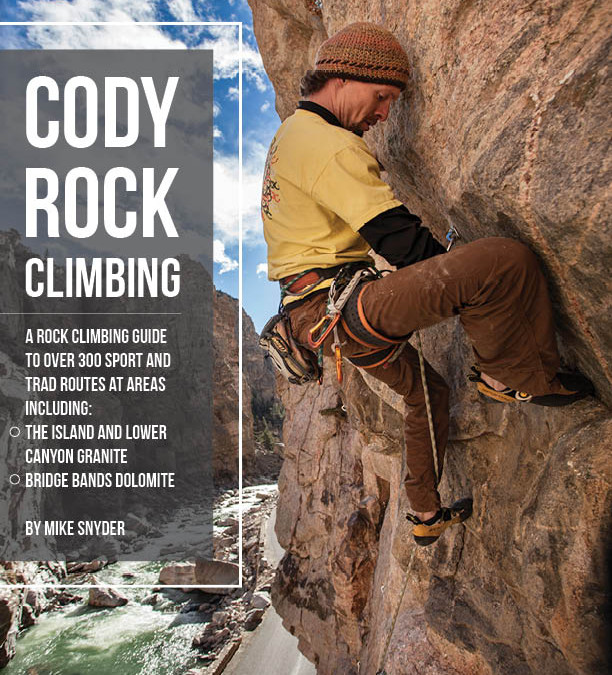
Cody is already known as one of the best ice climbing venues in the country and for the sandstone boulderer the density and quantity of problems is unparalleled in Wyoming. What you may not know is that Cody also hosts outstanding granite and dolomite rope climbing as well. Cody Rock Climbing guide features 350+ routes of single pitch and mulitpitch sport and trad.
Cody’s granite climbing has exploded in the last 10 years. The local favorite crag, The Island has many well protected granite sport routes of impeccable quality with grades ranging from beginner to 5.12d. The awe inspiring and massive river cut gorge of The Lower Canyon Granite has amazing climbing. There are incredibly only 150 routes here with new routes going in constantly. Everything from easy to protect splitters, multi-pitch sport and trad routes, to modern sport cragging exist with a beautiful river and a closed to vehicle traffic, paved road for easy access.
As with so many canyons in Wyoming this one has its fair share of dolomite as well. The Bridge Bands and its various satellite locations, The West, East and Upper bands feature sport and trad routes ranging from technical face climbing to thuggy pocket pulling.
The warm and welcoming town of Cody is just minutes from the climbing and offers hotels, camping, dining and a variety of activities for rest days.
-
-
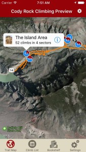
Explore Cody rock like it was meant to be explored via our interactive trail map.
-
-
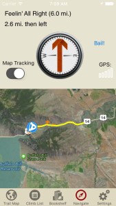
rakkup guides you car to crag then shows you a picture when you arrive. Awesome.
-
-
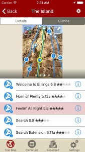
Tap on a climb name, see where it’s located on the image. Tap on a climb bubble in the image, discover what climb it is. So nice…
-
-
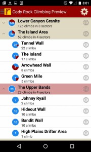
All the Cody climbs at your fingertips.
-
-
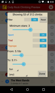
Sort all those climbs to only the grades you want to see.
-
-
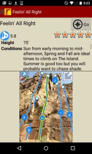
Use local, Mike Snyder’s beta to send your next proj!
by todd | Nov 9, 2015
Bishop Bouldering Select
Wolverine Publishing
by Airlie Anderson & McKenzie Long
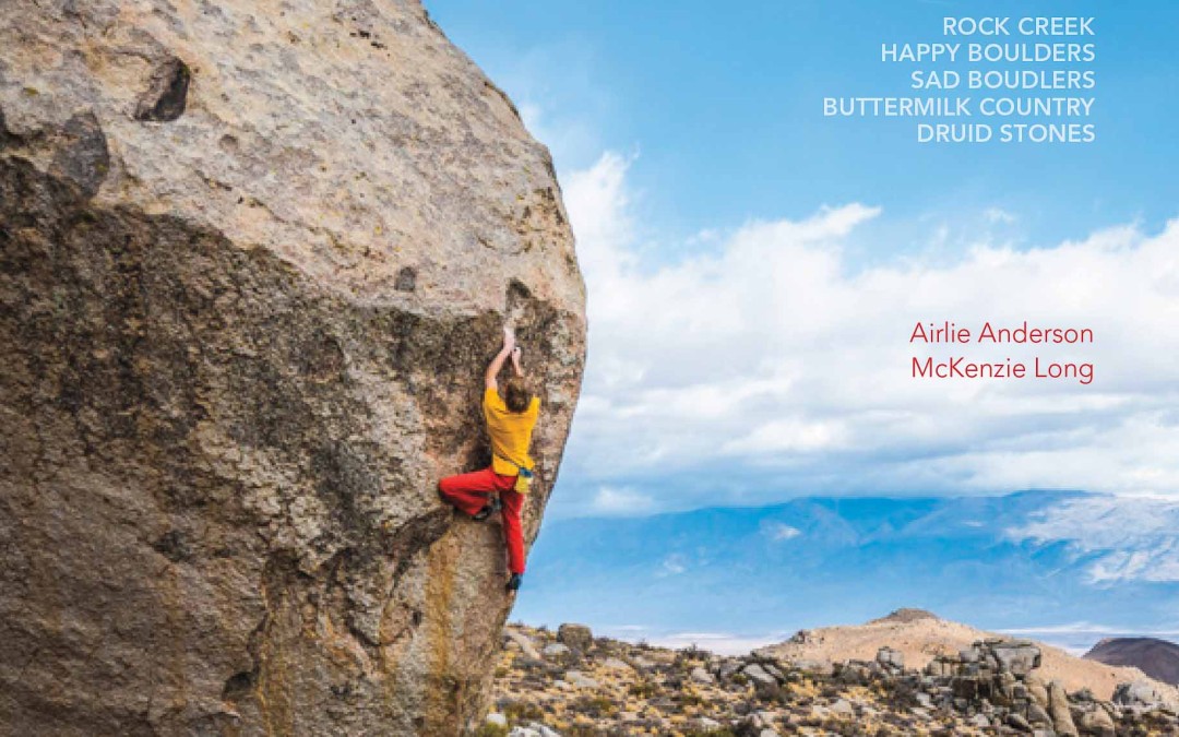
Bishop may be the best bouldering area in the world. It’s certainly one of the most famous, with a high concentration of world-class problems from beginner-friendly romps to standard-setting testpieces. Sealing the deal are two distinctly different kinds of rock—each with its own variations—plus magnificent scenery, consistently sunny weather, cheap camping, free hot springs, and convenient local amenities in the town of Bishop itself. This guidebook covers 722 of the area’s best problems, in Rock Creek, the Happy and Sad boulders, Druid Stones, and both roadside and backcountry areas in the famed Buttermilk Country.
-
-
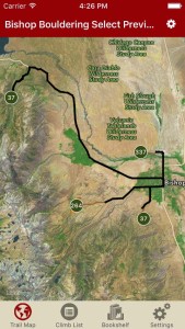
Explore Bishop Bouldering like it was meant to be explored via our interactive trail map.
-
-
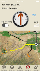
rakkup guides you car to boulder then shows you a picture when you arrive. Awesome.
-
-
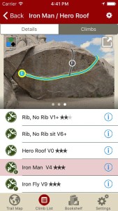
Tap on a problem name, see where it’s located on the image. Tap on a problem badge in the image, discover what problem it is. So nice…
-
-
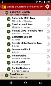
Bishop boulders & problems in a searchable list!
-
-
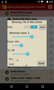
Sort all those problems to only the grades you want to see.
-
-
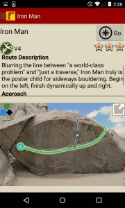
Use Airlie & McKenzie’s beta to send your next proj!
Buy both versions of the guidebook (print and digital) for only $38.99! That price includes $6.00 for shipping, meaning that you get the print book for only $23 more! A screaming deal! When you buy the digital + print bundle, you can use your digital rakkup guidebook immediately.
by todd | Oct 21, 2015
Vermont Rock
by Travis Peckham
Vermont Rock
Vermont Rock Facebook
Long overlooked by New England climbers, Vermont has quietly evolved into one of the best climbing regions in the Northeast. With amazing geological diversity that includes schist, granite, quartzite, and limestone, Vermont Rock showcases an outstanding variety of trad climbing and sport climbing at all levels.
This rebranded 2nd edition of Tough Schist is the state’s definitive guidebook, providing detailed information of its best climbing areas, including over 1,000 routes and variations at 30 different crags. Vermont Rock on rakkup is the perfect complement to the print edition, with GPS trail maps to bullseye every hard-to-find crag, filters and tick lists, the ability to record your sends, and bonus belay photos. Also included are new routes developed and discovered since the publication of the print edition. Incremental updates will continue to bring you new routes, new crags, and updated descriptions and grades.
-
-
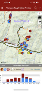
Detailed topo maps and meticulous info about every sector!
-
-
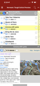
Searchable, filterable list of all your climbs and detailed descriptions and topos!
-
-
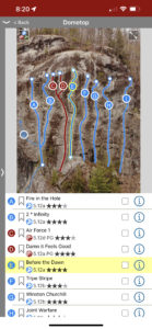
Fantastic photos and interactive overlays make identifying your line easy
by todd | Oct 14, 2015
Carderock
by Derek Braun & Brian Florence
Potomac Mountain Club Facebook
Earth Trek’s Facebook
Carderock has been Washington, DC’s favorite escape for rock climbers for almost a hundred years. Conveniently nestled at the edge of residential Washington, DC and overlooking the Potomac River, it’s a perfect stop for climbers looking for a quick fix before heading home for dinner. Because the crags are less than a hundred yards from the parking lot, and the Billy Goat C trail runs through the crag, access to the top and the bottom is quick and easy. It’s no surprise that Carderock is busy every night during the summer with campers, climbing classes, and regulars. Climbs at Carderock range from easy laybacks and fun chimneys for beginners and families to friction slabs that have challenged the best climbers in the world.
We have created the most comprehensive Carderock guidebook ever published in our greatly expanded second release, with 122 top-rope climbs, including original climbs printed nowhere else. We’ve added climbs at the lesser-known Outlook Rocks, Easter Egg Rocks, Jam Box, and the elusive Vaso Island. We’ve included photos taken from the top of most crags, marked to show you where to set your top-rope anchors. Our guidebook also touches upon Carderock’s storied history and the famous climbers who started here. If you purchase our guidebook, you can look forward to updates each season as we continue to add photos and beta.
-
-
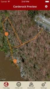
Explore Carderock climbing like it was meant to be explored via our interactive trail map.
-
-
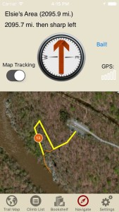
rakkup guides you car to crag then shows you a picture when you arrive. Awesome.
-
-
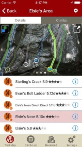
Tap on a climb name, see where it’s located on the image. Tap on a climb bubble in the image, discover what climb it is. So nice…
-
-
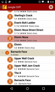
Carderock climbs at your fingertips.
-
-
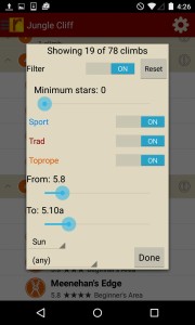
Too much to handle? Sort all those climbs to only the grades you want to see. Too hot? No prob, filter by in shade only.
-
-
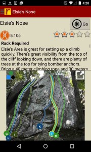
Tired of bad beta? Use local experts, Derek & Brian’s beta to send your next Carderock proj.
by todd | Sep 2, 2015
Ferguson Canyon Rock Climbing
by Tony Calderone
Little Cottonwood Climbing | Big Cottonwood Climbing | Wasatch Front Bouldering | Wasatch Wilderness Climbing | Wasatch Bench Climbing
Ferguson Canyon is located between Big Cottonwood and Little Cottonwood Canyons, near Salt Lake City, Utah. The canyon is known for its welcoming atmosphere. Nearly all the routes are shaded all day long. In contrast to most local climbing areas, dogs are allowed here. Most of the routes are short, averaging 50 feet in length. And the nearby stream provides a swamp-cooling effect. With 160 routes to choose from, you will enjoy climbing here with the excellent beta provided by long-time local guide, Tony Calderone.
-
-
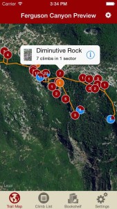
Explore Ferguson Canyon like it was meant to be explored via our interactive trail map.
-
-
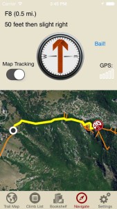
rakkup guides you car to crag then shows you a picture when you arrive. Awesome.
-
-
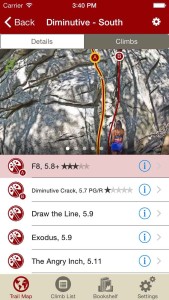
Tap on a climb name, see where it’s located on the image. Tap on a climb bubble in the image, discover what climb it is. So nice…
-
-
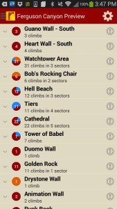
Over 160 and growing Ferguson climbs at your fingertips.
-
-
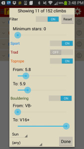
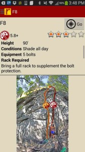
Too much to handle? Sort all those climbs to only the grades you want to see. Too hot? No prob, filter by in shade only.
-
-
Tired of bad beta? Use local guide, Tony Calderone’s beta to send your next proj!
Print + digital bundle pricing includes $6.00 for shipping.


