by todd | Nov 28, 2018
Backcountry Skiing: Crystal Mountain, Washington
by Matt Schonwald
Northwest Avalanche Center
Beacon Guidebooks:
California: Tahoe Light Tours Colorado: Berthoud | Buffalo | Cameron | Crested Butte | Loveland | Marble | RMNP | Silverton New Mexico: Taos Oregon: Hood Washington: Baker | ONP | Snoqualmie | Stevens
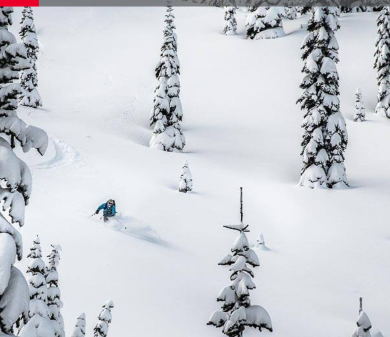
Author Matt Schonwald has drawn from his experience to bring this Crystal Mountain backcountry guidebook to you. This guidebook features aerial photos, an offline GPS, max slope angles, run descriptions and a terrain rating system maximizing terrain options and relevant information. Schonwald assesses each zone to provide information that is essential for your tour planning and decision making. Covering everything from mellow glades to steep couloirs, you’re sure to find the right tour for your group.
Buy digital plus book and the price includes $4.00 for shipping, a screaming deal! When you buy a bundle, you can use your digital rakkup guidebook immediately.
-
-
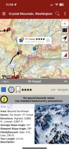
Map view
-
-
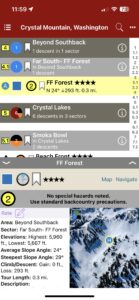
List view
-
-
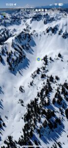
Topo photo
by todd | Sep 10, 2018
Stepping Up – A Guide to The Ridge at Bridger Bowl
by Tavis Campbell & Sam Cox
Gallatin National Forest Avalanche Center
Stepping Up Website
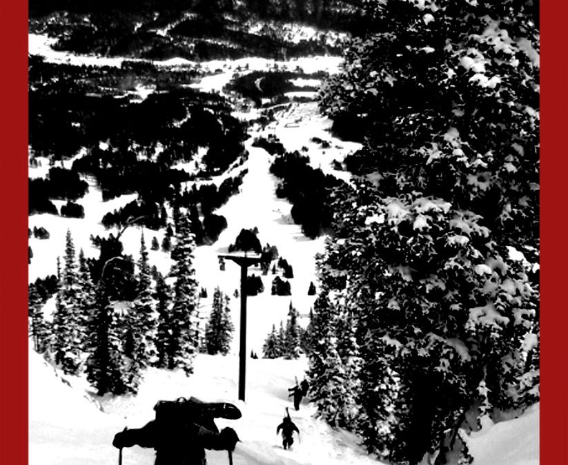
Bridger Ridge is a detailed account of over 70 prominent descents at Bridger Bowl. It has an abundance of aerial photos, maps, action shots and in-depth line descriptions. Areas of interest include The Ridge, High Traverse and Fingers. This is a must have for Ridge Hippies, novices and anyone passionate about Bridger Bowl.
-
-
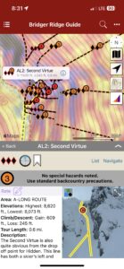
Map view
-
-
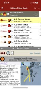
List view
-
-
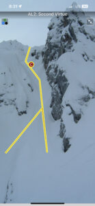
Full screen topos
by todd | Aug 1, 2018
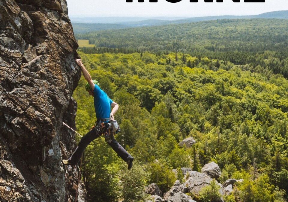
Grand Morne
by Nicolas Rodrigue & Club d’escalade et de montagne des Appalaches (CEMA)
Québec: Saint-Léon-de-Standon| Montmagny-L’Islet
Le Grand Morne est la fameuse paroi mystérieuse de la Beauce. Communément appelé le Morne par les locaux, on peut considérer ce site comme le joyau de la région. L’escalade au Morne est unique. C’est une falaise du terroir vertical qu’on ne retrouve nulle part ailleurs. Le Morne c’est un rocher volcanique surprenant avec plein de formes et de prises cachées. Grimper au Morne, c’est accepter de se perdre dans une lecture d’itinéraires déroutantes. On y trouve des voies multi longueurs avec de l’ambiance et une gestuelle variée et complexe. En plus, il vous faudra savoir trouver les placements de protection dans cette escalade majoritairement traditionnelle. Vous voilà avec un grand cru d’escalade bien épicé qui demande temps et patience avant d’en apprécier toute la subtilité. Le Morne est une montagne à approcher avec respect et qui permet de développer le sens de l’itinéraire et de l’engagement. Prenez le temps de découvrir le Morne grâce à ce topo qui contient plus de 250 photos et une description complète des 286 voies (375 longueurs) d’escalade qui sillonnent la paroi. Les bénévoles du CEMA sont toujours au travail, attendez-vous à une mise à jour importante à l’automne prochain et de façon régulière par la suite.
-

-
Area overview map
-

-
Beautiful full screen smart topos
-

-
Climb list
by rob | Jun 14, 2018
Exit 32 (Little Si) Rock Climbing
by Todd Kutzke and Rob Price
Outdoor Geeks, LLC.
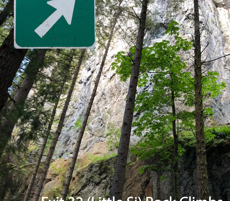
Just outside Seattle at Exit 32 along Interstate 90 lies Little Si, the little sibling to Mt. Si next door. The guidebook features World Wall 1, the crown jewel crag of Washington sport climbing with a storied history of climbing at the highest grades. First pioneered by local climber Brian Burdo in the early 90s, the wall has seen the addition of new testpieces every few years that have pushed well into the 5.14’s at World Wall 1 & 2. World Wall 1’s unique geography, climb density and popularity make photographing this wall particularly challenging. Combining new high-resolution wide angle photographs and rakkup’s smart topo feature, this Little Si guidebook makes it incredibly easy for anyone to find the climb they’re looking for.
Don’t climb 5.12? That’s ok, there’s something here for everyone. World Wall 1 and the smaller crags nearby have many classic moderate lines in an aesthetic setting with great conditions all summer long.
-
-
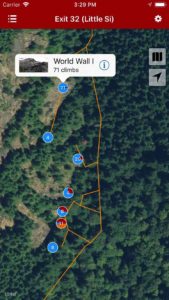
Explore Exit 32 (Little Si) rock climbing via our interactive trail map.
-
-
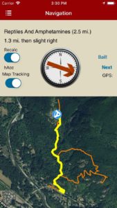
rakkup guides you car to crag then shows you a picture when you arrive.
-
-
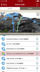
Tap on a climb name, see where it’s located on the image. Tap on a climb bubble in the image, discover what climb it is.
-
-
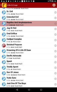
Exit 32 (Little Si) rock climbs in a searchable list.
-
-
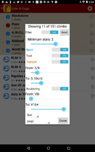
Filter the route list to only the grades and quality you want to see.
-
-
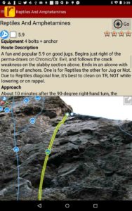
Detailed route descriptions and pictures with topo lines for every route.
by | Jun 13, 2018
Parois du Saguenay
by Pierre-Y. Plourde & François-Xavier Garneau
Club de Montagne du Saguenay
Saguenay Facebook
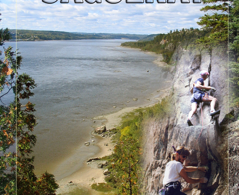
Ce topo-guide est indispensable pour la pratique de l’escalade dans la région du Saguenay. La qualité des photos et le recours aux pictogrammes rendent la navigation facile à comprendre et à utiliser. Le contenu couvre la Ville de Saguenay, Sainte-Rose-du-Nord, Ferland-et-Boilleau, le Parc national du Saguenay, L’Anse-Saint-Jean. Une trentaine de secteurs, plus de 70 blocs et parois d’escalade et plus de 500 itinéraires illustrés.
This guidebook is essential for the practice of climbing in the Saguenay region. The quality of pictures combined with the use of pictograms make navigation easy to understand and use. The content covers the Ville de Saguenay, Sainte-Rose-du-Nord, Ferland et Boilleau, the Parc national du Saguenay, L’Anse-Saint-Jean. Thirty sectors, more than 70 boulders and cliffs and over 500 illustrated climbs.
-
-
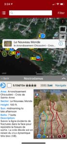
Explore Saguenay climbing via our interactive trail map.
-
-
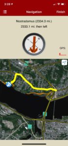
rakkup navigates car to crag then displays a picture when arriving at destination.
-
-
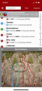
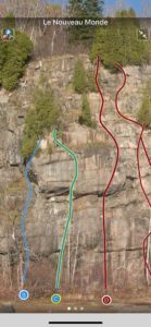
Smart topos help locate the correct route.
-
-
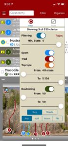
Filter climbs by quality, grade and type.
-
-
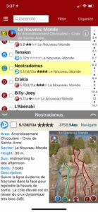
Quickly browse climb details in the climb list.
-
-
Beautiful full screen smart topos.
by rob | May 1, 2018
Liming Rock
by Mike Dobie
Mike’s Website
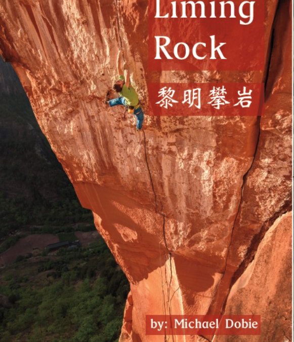
Liming is China’s premier destination for sandstone climbing and while it has gained notoriety with the trad routes, the most recent wave of development has focused on sport climbing. In addition to up to date beta on all the classic climbs the Rakkup guide is the only resource for the four new sport climbing areas plus new trad routes not in the print version. A total of 30 sectors and 260 routes (as long as 10 pitches) are included in this handy resource.
The Liming area is huge, yet centralized with a town that serves as a central hub for the local natives “the Lisu people” who inhabit the area. There are two main valleys that have seen climbing development spanning an area of about 7 km. The geological diversity is extreme. Tucked into these mountains is an ancient geological seabed that has been uplifted at a hard angle to expose three types of rock. One layer is a softer sandstone with cracks, splitters, and bouldery bolted face climbing, another is a harder type of yellow sandstone filled with pockets and jugs suitable for fun sport climbing, and hidden within these two are pockets of fine grained, vertical to steep granite with cracks. With such a large area and routes going up almost daily during the season, this convenient app will help you stay up to date with the current conditions and new routes.
A few of the main climbing areas are within walking distance from the guesthouses in town with approaches 30-45 minutes. With that said there are also areas that have roadside access using the transportation options detailed in the app. As with all rakkup guides, GPS navigation is featured and makes the approaches much easier. This is a welcomed addition as some areas remain quite wild and access via small trail systems used by local goat herders which can be confusing to navigate at times.
Included is travel beta to help navigate arrival and preparation. There is a particularly useful section for non-Chinese speakers with step by step directions on how to get to Liming. Also pronunciations and characters to show drivers and people where you want to go. China can be an intimidating place if you have never been, but these features make it much easier.
We’re sorry, but the author has informed us that printed version of this book is out of stock at this time. We hope you enjoy the digital guidebook until a reprint is available.
Buy both versions of the guidebook (print and digital) for only $46.99! That price includes $7.00 for U.S. domestic shipping, meaning that you get the print book for only $32 more! A great deal on a beautiful guidebook! Shipping outside the U.S. costs more and we will follow up after your purchase with shipping options and costs.
Please note a VPN is required to download guidebooks behind the Chinese firewall.
-
-
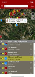
Explore Liming via rakkup’s trail map features.
-
-
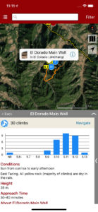
Browse sector details.
-
-
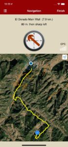
rakkup navigates car to crag.
-
-
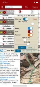
Filter by quality and grade.
-
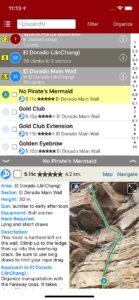
-
Easily searchable climb list.
-
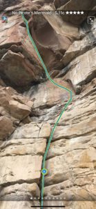
-
Smart topos find your line.

by todd | Mar 12, 2018
Oman Sharaf Al Alameyn Sport Climbing
by Larry Michienzi
Climbing in Oman Facebook
Oman: Muscat Sport Climbing Guidebook | Oman: Deep Water Soloing Guidebook
Oman Sport climbing guidebook for the Sharaf area includes La Gorgette, Le Reef, Birkat Al Sharaf and Wall of Shadows.
-
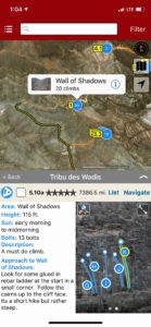
-
Explore Oman: Sharaf Al Alameyn sport climbing via rakkup’s interactive trail map
-
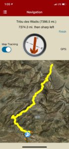
-
rakkup guides you car to crag then shows you a picture when you arrive.
-
-
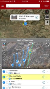
Smart topos find your line!
-
-
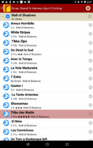
Oman: Sharaf Al Alameyn sport climbs in a searchable list!
-
-
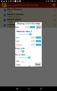
Sort all those climbs to only the grades you want to see. Too hot? No prob, filter by in shade only.
-
-
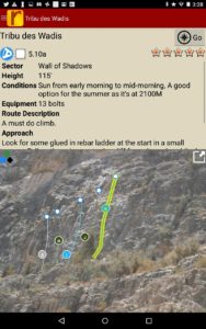
Detailed beta and topo photos for every climb.
by todd | Jan 25, 2018
Rattlesnake Conservation Area
by Gus Alexandropoulos & Justin Dwyer
Ontario Climbing
OntarioClimbing.com Facebook
Ontario Guidebooks: Devil’s Glen | Metcalfe | Mount Nemo | Old Baldy | The Swamp | Lion’s Head
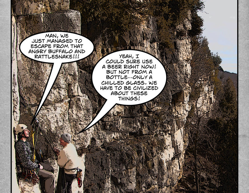
Home to Rattlesnake Point, Bottle Glass Crag and Buffalo Crag, this is by far the best and most accessible area for any new climber looking for their first outdoor climbing experience. All three crags are approached from the top, which greatly simplifies setting up top-ropes, and the easy access to the base (Rattlesnake Point has a metal staircase) eliminates the need for rappelling and other more advanced climbing skills. These are primarily south facing cliffs with a relatively open base, so they dry quickly after rain and are ideal for early season climbing.
-
-
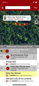
Explore Rattlesnake rock climbing via our interactive trail map.
-
-
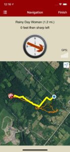
rakkup navigates car to crag then displays a picture when arriving at destination.
-
-
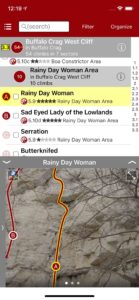
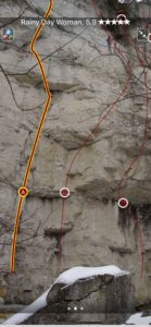
Smart topos help locate the correct route.
-
-
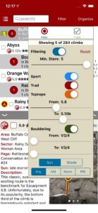
Filter climbs by quality, grade and type.
-
-
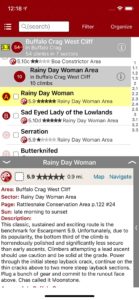
Quickly browse climb details in the climb list.
-
-
Beautiful full screen smart topos.
by todd | Jan 8, 2018
Backcountry Skiing: Berthoud Pass, Colorado
by Rob Writz
Colorado Avalanche Information Center
Beacon Guidebooks:
California: Tahoe Light Tours Colorado: Buffalo | Cameron | CO Light Tours | Crested Butte | Loveland | Marble | RMNP | Silverton New Mexico: Taos Oregon: Hood Washington: Baker | Crystal | ONP | Snoqualmie | Stevens
Welcome to the epicenter of backcountry skiing and snowboarding on Colorado’s Front Range. Since the 1930s skiers have been exploring the slopes surrounding US Highway 40 as it climbs and descends Berthoud Pass. This was the former home of one of Colorado’s pioneering ski areas and when it closed, the Pass quickly emerged as the most popular backcountry ski destination on the Front Range. Quick access, a consistent snowpack, and endless discovery continue to draw skiers to Berthoud Pass. The east to west orientation of the Pass, located high above the Fraser River and Clear Creek valleys, attracts a deep snowpack benefiting from both northwest flow and upslope storms. In just over an hour drive from Denver, backcountry skiers have access to numerous trailheads leading into the high basins surrounding the Pass. From pre-work dawn patrols, to car shuttling, to all day epics, Berthoud Pass has an adventure for backcountry riders of all skill levels. The glade skiing, deep powder bowls, and steep couloirs of Berthoud Pass have enough terrain to keep you busy for a lifetime.
Buy digital plus (book and/or map) and the price includes $4.00 for shipping, a screaming deal! When you buy a bundle, you can use your digital rakkup guidebook immediately.
-
-
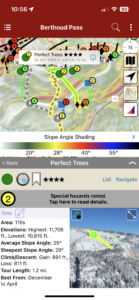
Map view
-
-
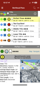
List view
-
-
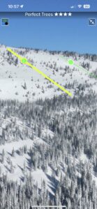
Full screen photo topos

by todd | Dec 7, 2017
Wasatch Front Bouldering
by Tony Calderone
Little Cottonwood Climbing | Big Cottonwood Climbing | Ferguson Canyon | Wasatch Wilderness Climbing | Wasatch Bench Climbing
The Wasatch Front is home to some of the strongest boulderers in the world. Many have made their mark among this impressive collection of boulder problems. Tony takes you on an aerial tour across the Wasatch to point out the best problems.
-
-
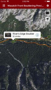
Explore Wasatch Bouldering via our interactive trail map.
-
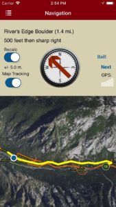
-
rakkup guides you car to crag then shows you a picture when you arrive. Awesome.
-
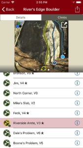
-
Tap on a climb name, see where it’s located on the image. Tap on a climb badge in the image, discover what climb it is. So nice…
-
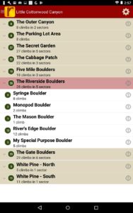
-
Searchable climb list.
-
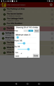
-
Filter climbs to only the ones you want to see.
-
-
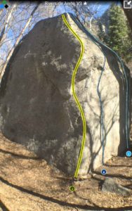
Full screen smart topos.


